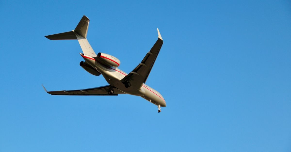
Researchers conducting the WIPAFF and X-Wakes projects have deployed manned aircraft to systematically study the atmospheric and oceanographic effects of large offshore wind farm clusters in the German Bight. This measurement approach offers distinct advantages over conventional fixed monitoring networks and satellite remote sensing alone.
Aircraft platforms provide exceptional spatial flexibility, allowing flight routes to be adjusted in real time based on wind conditions, atmospheric stability, and observed wake signatures. This adaptability captures wind farm effects across scales ranging from tens to hundreds of kilometers. Instrumentation aboard the aircraft achieves vertical resolution in the centimeter range while simultaneously measuring wind speed, turbulence intensity, temperature, humidity, air–sea momentum and heat fluxes, and sea surface characteristics including roughness and wave patterns.
These integrated measurements reveal how multiple wind farm wakes interact, recover downstream, and respond to varying atmospheric conditions. Critically, airborne data establish direct connections between atmospheric modifications and corresponding changes in sea-state properties—information that ground-based or space-borne sensors alone cannot simultaneously capture. Such observations provide essential validation datasets for evaluating numerical wind farm models and refining the parameterizations that represent wind farm effects in larger-scale atmospheric simulations.
When combined strategically with satellite observations, aircraft campaigns bridge the critical gap between highly localized, detailed measurements and the synoptic-scale coverage necessary for assessing regional impacts.
Despite these strengths, significant limitations exist. Aircraft campaigns are episodic rather than continuous, sampling conditions over limited time windows that complicate direct comparison with instantaneous satellite imagery and prevent the derivation of robust long-term climatologies. Furthermore, small wind farm effects that fall within the natural variability of marine boundary layer fluctuations—including global blockage effects—remain difficult to distinguish from background noise using aircraft data in isolation.
The research demonstrates that airborne measurements prove most effective when integrated with complementary satellite remote sensing, long-term fixed instrumentation, and computational modeling tools, offsetting their inherent temporal constraints.