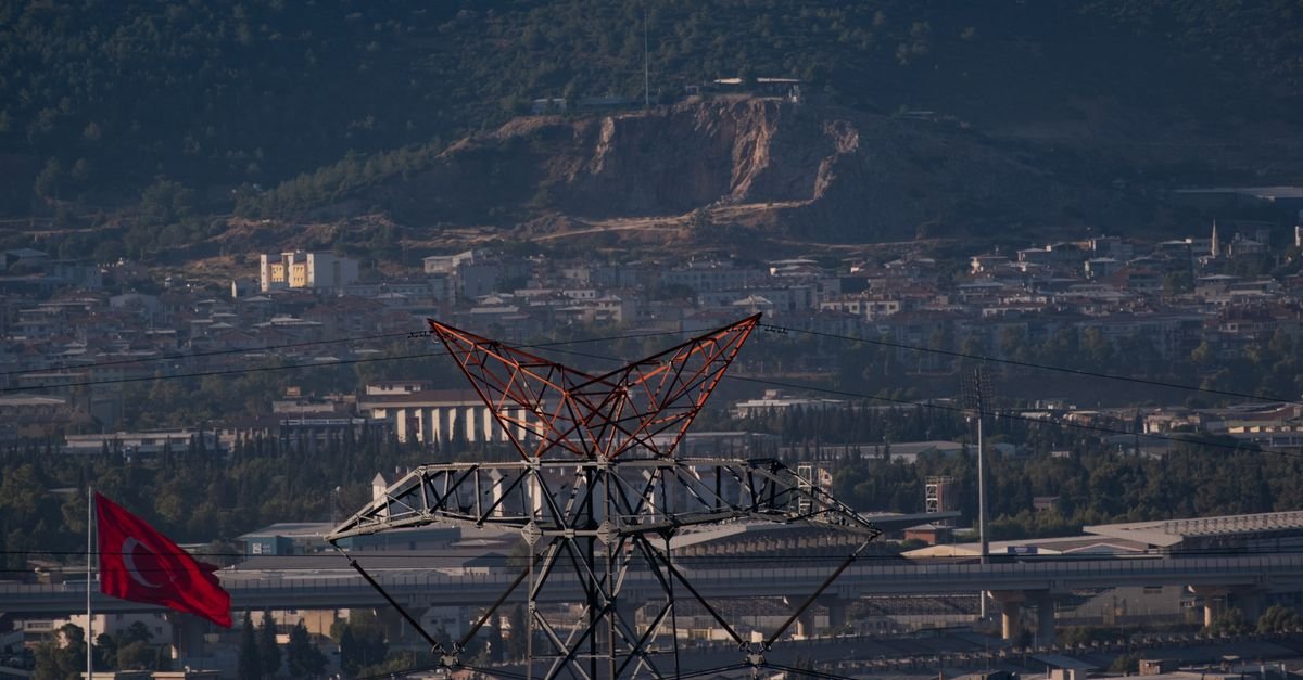
Automated detection of power towers from remote sensing imagery is increasingly vital for utilities managing sprawling transmission and distribution networks. Manual inspection of thousands of kilometers of power lines remains labor-intensive, dangerous, and time-consuming. A new deep learning approach called MAFD-NET addresses three persistent challenges that have limited previous detection systems: difficulty recognizing towers of varying sizes, confusion caused by complex natural backgrounds, and frequent missed detections of smaller distribution-level structures.
The network builds on the YOLO11 architecture by introducing two specialized innovations. First, a multi-head attention feature fusion module enhances the backbone's ability to extract both broad and fine-grained details simultaneously. This module integrates the Mamba mechanism—a modern sequential processing technique—alongside hierarchical multi-head self-attention to better understand spatial relationships within high-resolution scenes. Second, an Edge-Preserving Dynamic Upsampling module in the network's neck section ensures that features extracted at different scales align precisely, reducing information loss when combining multi-scale data.
Validation on two large datasets produced impressive results. On the Duke Power Transmission and Distribution Infrastructure dataset, MAFD-NET achieved 78.26% mean average precision, 75.12% recall, and 74.87% mean intersection-over-union. Performance on the Aerial-Power dataset reached 76.18% mean average precision with 74.32% recall. These metrics substantially exceed those of mainstream detection models currently deployed in practice.
The implications for grid operators are significant. Faster, more reliable tower identification accelerates routine inspections, supports damage assessment after extreme weather, and helps identify maintenance priorities. By reducing false negatives—missed towers—utilities can catch structural issues before they create safety hazards or service interruptions. As high-resolution remote sensing becomes cheaper and more accessible, AI-driven analysis will increasingly replace costly helicopter or foot-based inspections, particularly in remote or difficult terrain.