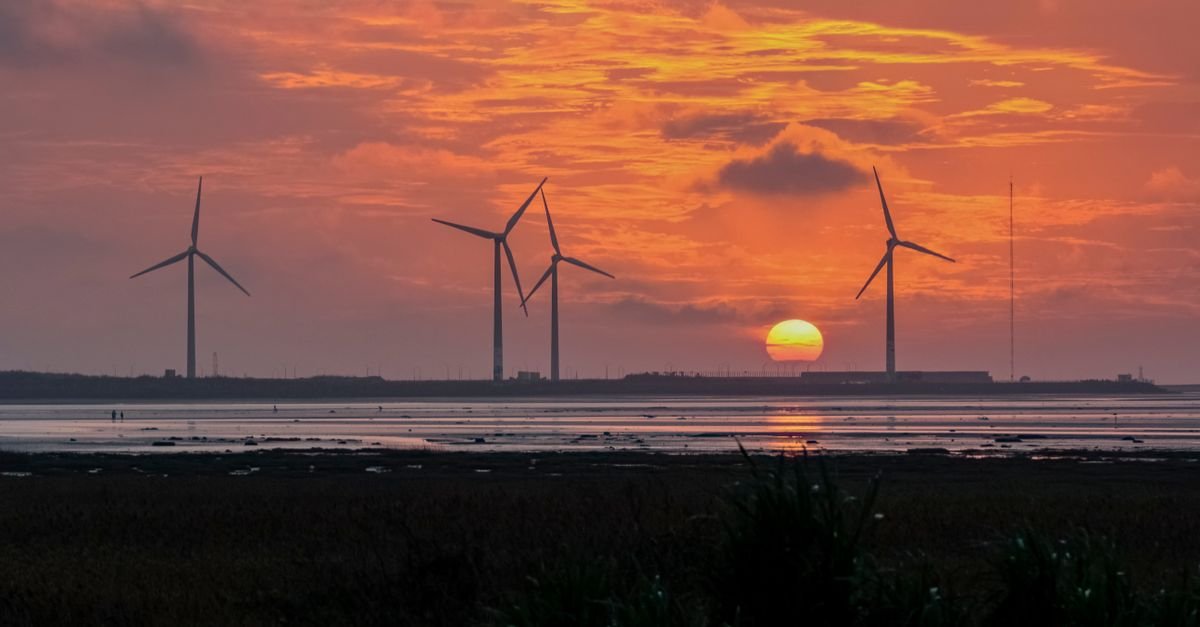
Offshore wind turbines operate at heights where atmospheric turbulence remains poorly characterized, creating significant uncertainty in engineering models used for design and reliability assessment. The marine boundary layer above 100 m lacks direct measurement data on turbulence spatial structure, forcing engineers to rely on unvalidated models originally developed for onshore conditions.
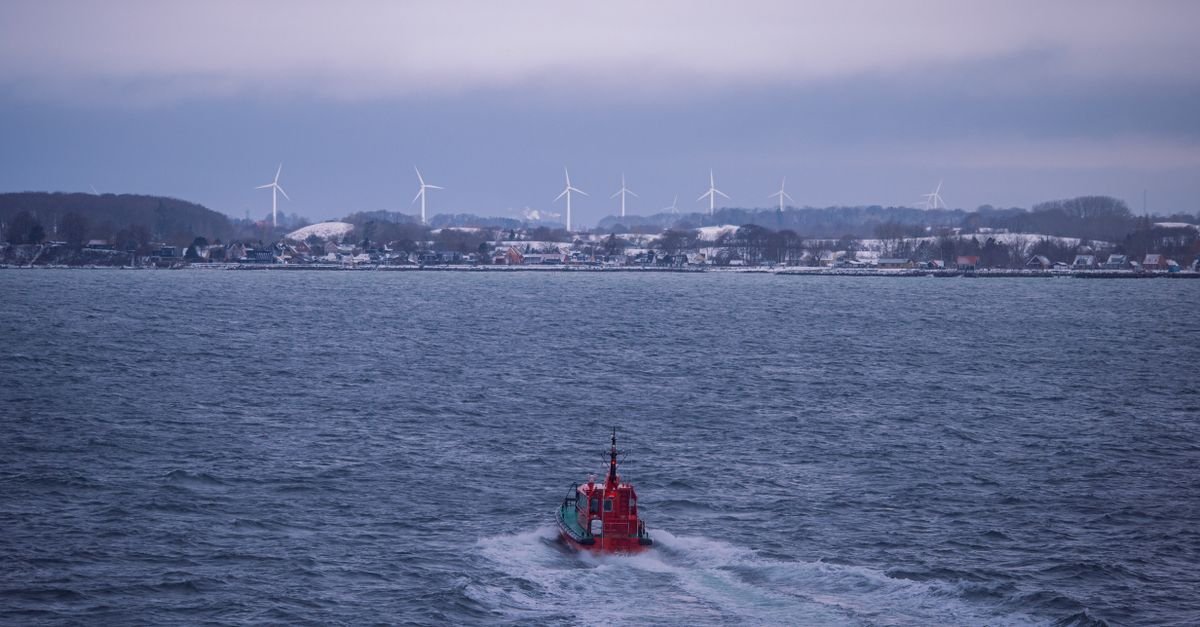
Researchers conducted an experimental campaign using five synchronized lidar systems positioned at two locations on Denmark's west coast. This distributed sensor network measured horizontal wind components at intersections of lidar beams reaching 150–250 m altitude—the operational range of modern megawatt-scale offshore turbines. The setup enabled assessment of lateral coherence structures across separations up to 240 m, a critical parameter for understanding how turbulent gusts affect multiple turbine blades and flounder platforms simultaneously.
Data quality varied across the five lidar instruments, resulting in availability ranging from 17% to 50% at individual measurement intersections over a full 360° directional sector. Despite this variability, the dataset represents the most comprehensive direct measurement of marine boundary layer turbulence at relevant offshore wind heights available to the industry.
This experimental data directly supports validation of the Mann and Kaimal turbulence models referenced in international design standards such as IEC 61400-1. Accurate turbulence characterization is essential for predicting fatigue loads on rotor blades, tower bending moments, and foundation response—parameters that drive structural design and operational lifetime assumptions.
The campaign addresses a persistent gap between atmospheric science and offshore wind engineering. Previous turbulence measurements typically occurred at lower altitudes or used models calibrated for land-based wind farms, where thermal stability and surface roughness differ substantially from marine conditions. Better validation of turbulence models at height should improve confidence in load predictions, potentially optimizing turbine design efficiency while maintaining safety margins.